AutAut@hachyderm.io
Mar 7, 2026, 2:27 AMContinuing my messing around with #meshcore and I managed to write a script that would run a trace to my home repeater over and over and log the results. So I taped my small radio to the window and drove around while running the script on my laptop. At the same time my phone was logging my GPS location with timestamps.
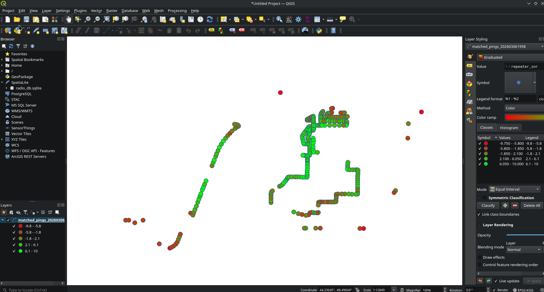
When I got home I pulled the data in sqlite, correlated it, and exported it as a CSV giving lat, lon, and SNR. I imported this into QGIS with some graduated symbology to color code everything.
Here it is without the map (as to not dox myself). But qgis let me easily take open street maps and overlay my data on it. Pretty nerdy, pretty cool.