 Aug 4, 2026, 8:46 AM
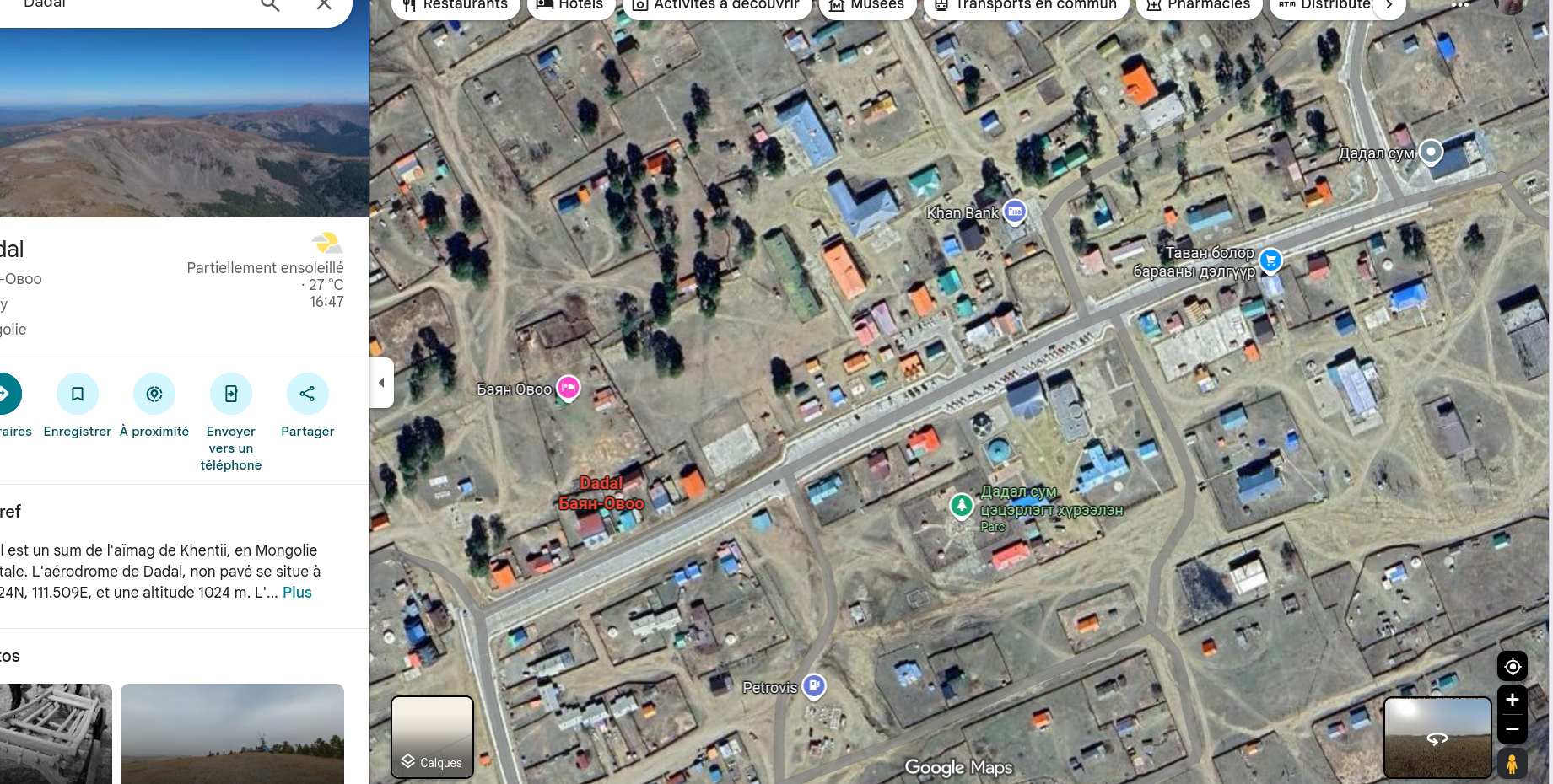
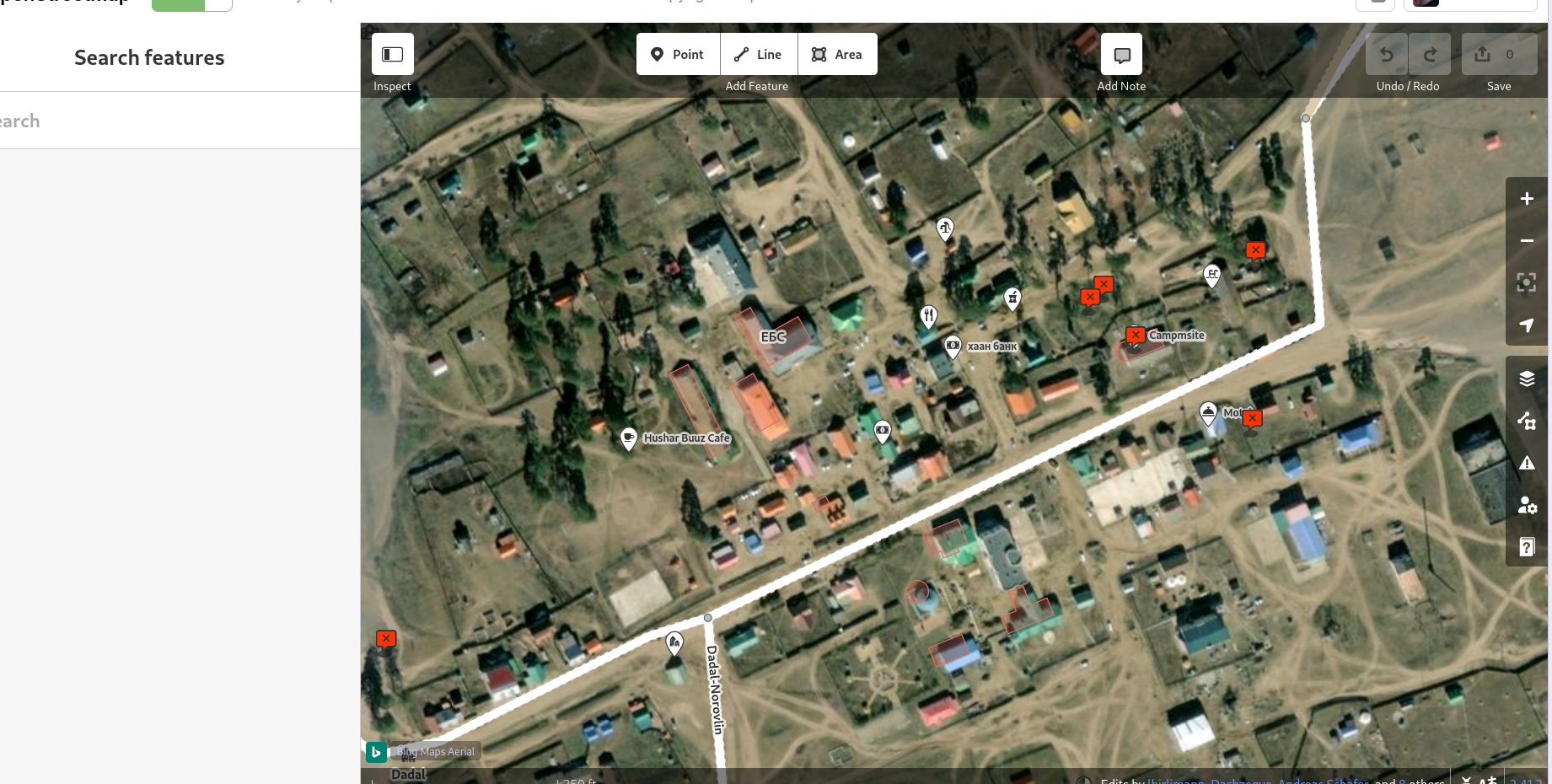
Long shot. I want to edit dadal, mongolia on Openstreetmap. I have a bunch of GPS traces I took. But I would also like to add buildings, there's a bunch of them missing. None of the proposed image layer in JOSM are up-to-date. Google's a bit better but not that much.
There are no maps listed at https://josm.openstreetmap.de/wiki/Maps .
Anyone knows where how I can use more recent aerial images, and where to find them?
retooting makes the map more precise :-)