ivanbrancoivanbranco@en.osm.town
Nov 9, 2026, 11:59 AMI love WaterwayMap, and ever since it came out I’ve wished trees had a QA tool of their own.
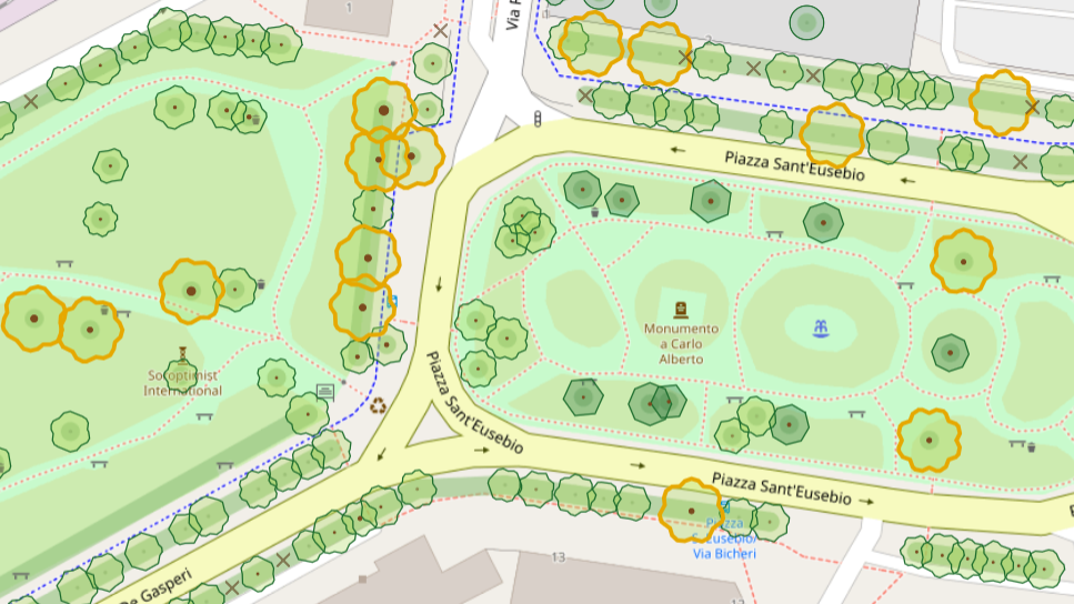
Lately I’ve had fun putting one together to check tree data in OpenStreetMap. I made it for myself, but someone else might find it useful, so... here’s DendrOSM 🌳
https://ivanbranco.github.io/tree-osm-qa/
It highlights trees with possible tagging issues and draws them from trunk circumference and crown diameter. 10 European countries so far, ping me if you’d like another one added.