DH Lab IEGDHLab_IEG@fedihum.org
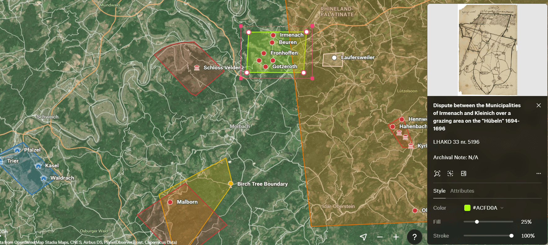
Jun 26, 2026, 8:08 AMHow can historical maps help us understand everyday life in early modern Germany? From “Augenscheinkarten” of the Holy Roman Empire to rough sketches in local court records. Our postdoc fellow Aaron Larsen explores “Cartography for the Commons”, a project using interactive GIS mapping to democratize spatial history. Amateur hand-drawn maps from archives, brought to life in a searchable interface.